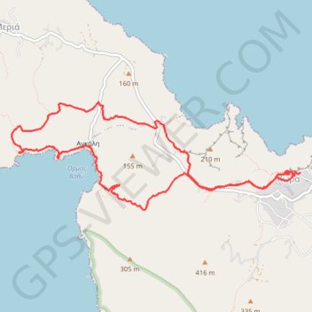
Plage d'Angali
Interactive map
GPS track profile
About this GPS track
Name: Plage d'Angali GPS track, route, trail
Coordinates: 36.62487 24.88421 36.63590 24.92124
Other GPS tracks
Click on a GPS track to view route, its statistics and profile.
Profitis Ilias et Katergo
Grèce > Égée > Περιφερειακή Ενότητα Θήρας > Chora
Randonnée entre Folegandros et Karavostasis. #Randonnée
Distance: 7.3 mi • Elevation gain: 1,650 ft • Maximum elevation: 1,050 ft
Le phare de Folegandros et Livadaki
Grèce > Égée > Περιφερειακή Ενότητα Θήρας > Άνω Μεριά > Αγκάλη
Randonnée pédestre. En aller simple. #Randonnée
Distance: 5.9 mi • Elevation gain: 1,827 ft • Maximum elevation: 843 ft