La plage de Vorina à Folegandros
Interactive map
GPS track profile
About this GPS track
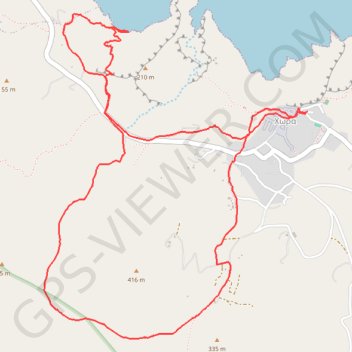
Name: La plage de Vorina à Folegandros GPS track, route, trail
Coordinates: 36.61553 24.90235 36.63429 24.92126
Other GPS tracks
Click on a GPS track to view route, its statistics and profile.
Profitis Ilias et Katergo
Grèce > Égée > Περιφερειακή Ενότητα Θήρας > Chora
Randonnée entre Folegandros et Karavostasis. #Randonnée
Distance: 7.3 mi • Elevation gain: 1,650 ft • Maximum elevation: 1,050 ft