Bluestone State Park
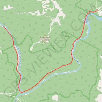
Hike along Little Bluestone River and Bluestone River via Coopers Mill Trail in the Bluestone National Scenic River and the Bluestone State Park. #Hike #Nature #River #Forest #Park
- Distance: 8.5 mi
- Elevation gain: 1,037 ft
- Maximum elevation: 1,617 ft
- Elevation loss: 1,047 ft
- Minimum elevation: 1,417 ft
- Moving time: 25 m 20 s
- Moving speed: 20.1 mph
- Maximum speed: 26.9 mph
- Total time: 25 m 20 s
- Global speed: 20.1 mph
- Date: 03/03/2024
Interactive map
GPS track profile
About this GPS track
Name: Bluestone State Park GPS track, route, trail
Start: Bluestone River Road, Summers County, West Virginia, 25978, United States (37.59369 -80.97259)
Coordinates: 37.58370 -80.97855 37.61151 -80.93863
Topography: Summers County topographic map
Other GPS tracks
Click on a GPS track to view route, its statistics and profile.