Stirling
Interactive map
GPS track profile
About this GPS track
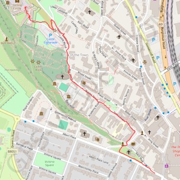
Name: Stirling GPS track, route, trail
Coordinates: 56.11668 -3.94738 56.12377 -3.93746
Other GPS tracks
Click on a GPS track to view route, its statistics and profile.
United Kingdom to Beinglas Campsite
Royaume-Uni > Écosse > Dumfries and Galloway
Distance: 133.9 mi • Elevation gain: 6,027 ft • Maximum elevation: 1,043 ft