Chiquito Falls (Lyon Canyon Falls)
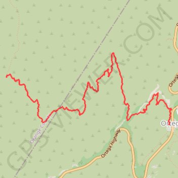
Interactive map
GPS track profile
About this GPS track
Name: Chiquito Falls (Lyon Canyon Falls) GPS track, route, trail
End: Chiquito Trail, Ortega Oaks, Orange County, California, 90000, United States (33.62051 -117.45560)
Coordinates: 33.61354 -117.45562 33.62407 -117.42671
Topography: Riverside County topographic map
Other GPS tracks
Click on a GPS track to view route, its statistics and profile.