Ponca Wilderness
Interactive map
GPS track profile
About this GPS track
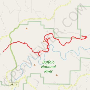
Name: Ponca Wilderness GPS track, route, trail
Start: Fire Tower Road, Stoverville, Newton County, Arkansas, 72624, United States (36.05537 -93.37046)
End: Erbie Road, Erbie, Newton County, Arkansas, 72624, United States (36.07303 -93.26498)
Coordinates: 36.05036 -93.37050 36.07602 -93.25824
Topography: Newton County topographic map
Other GPS tracks
Click on a GPS track to view route, its statistics and profile.