Import a GPX file

Ponca Wilderness and Buffalo National River Loop

Loop hike around Ponca Wilderness and Buffalo National River from Steel Creek Campground. #Hike #Loop #River #Mountain #Nature #Forest #Wilderness

  • Distance: 18.8 mi
  • Elevation gain: 4,354 ft
  • Maximum elevation: 2,165 ft
  • Elevation loss: 4,354 ft
  • Minimum elevation: 922 ft

Interactive map

GPS track profile

About this GPS track

Name: Ponca Wilderness and Buffalo National River Loop GPS track, route, trail

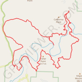
Start: Buffalo River Trail, Pruitt, Newton County, Arkansas, 72670, United States (36.03945 -93.34606)

End: Buffalo River Trail, Pruitt, Newton County, Arkansas, 72670, United States (36.03945 -93.34606)

Coordinates: 36.03213 -93.36083 36.07165 -93.29953

Topography: Newton County topographic map

Other GPS tracks

Click on a GPS track to view route, its statistics and profile.

Ponca Wilderness

United States > Arkansas > Newton County > Stoverville

Hike through Ponca Wilderness in Buffalo National River. #Hike #Mountain #River #Nature #Forest #Wilderness

Distance: 13.6 mi • Elevation gain: 2,815 ft • Maximum elevation: 2,316 ft