Mount Baldy (or Mount San Antonio)
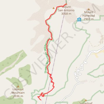
Interactive map
GPS track profile
About this GPS track
Name: Mount Baldy (or Mount San Antonio) GPS track, route, trail
Start: Bear Canyon Drive, Los Angeles County, California, 91784, United States (34.24166 -117.66128)
End: Bear Canyon Drive, Los Angeles County, California, 91784, United States (34.24166 -117.66128)
Coordinates: 34.24166 -117.66321 34.28906 -117.64641
Topography: Los Angeles County topographic map
Other GPS tracks
Click on a GPS track to view route, its statistics and profile.