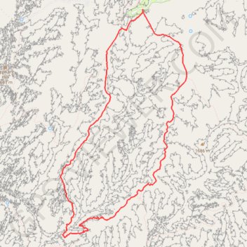
Squaw Canyon Loop
Loop hike on Quaw Canyon Trail, Wooden Shoe Canyon Trail and Big Spring Canyon Trail in the Canyonlands National Park. #Hike #Loop #Canyon #Mountain #Nature #Park
- Distance: 7.4 mi
- Elevation gain: 843 ft
- Maximum elevation: 5,623 ft
- Elevation loss: 846 ft
- Minimum elevation: 5,095 ft
- Moving time: 4 h 57 s
- Moving speed: 1.8 mph
- Maximum speed: 4.0 mph
- Total time: 5 h 24 m
- Global speed: 1.4 mph
- Date: 10/10/2015
Interactive map
GPS track profile
About this GPS track
Name: Squaw Canyon Loop GPS track, route, trail
Coordinates: 38.10765 -109.82016 38.14350 -109.79491
Topography: San Juan County topographic map
Other GPS tracks
Click on a GPS track to view route, its statistics and profile.