Garnet Peak
Interactive map
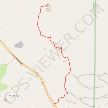
GPS track profile
About this GPS track
Name: Garnet Peak GPS track, route, trail
Start: 12027, Sunrise Highway, San Diego County, California, 91948, United States (32.90570 -116.45737)
End: Garnet Peak Trail, San Diego County, California, United States (32.92569 -116.45873)
Coordinates: 32.90570 -116.46130 32.92580 -116.45344
Topography: San Diego County topographic map
Other GPS tracks
Click on a GPS track to view route, its statistics and profile.