Import a GPX file

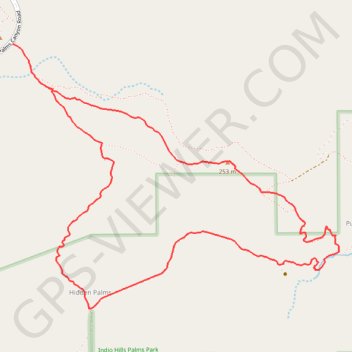
Pushawalla Palms and Hidden Palms Loop

Loop hike to Pushawalla Palms and Hidden Palms in the Coachella Valley Preserve. #Hike #Loop #Nature #Desert

  • Distance: 4.9 mi
  • Elevation gain: 725 ft
  • Maximum elevation: 827 ft
  • Elevation loss: 725 ft
  • Minimum elevation: 371 ft

Interactive map

GPS track profile

About this GPS track

Other GPS tracks

Click on a GPS track to view route, its statistics and profile.

Pushawalla Palms Loop

United States > California > Riverside County > Hidden Palms

Loop hike from Indian Palms Trailhead to Pushawalla Palms in the Indio Hills Palms Park. #Hike #Loop #Nature #Desert #Forest #Park

Distance: 4.8 mi • Elevation gain: 741 ft • Maximum elevation: 823 ft