Big Laguna Meadow Sunset Trail Loop
Two trails around Mount Laguna Campground
- Distance: 8.8 mi
- Elevation gain: 1,020 ft
- Maximum elevation: 5,738 ft
- Elevation loss: 1,024 ft
- Minimum elevation: 5,361 ft
- Moving time: 2 h 59 m
- Moving speed: 2.9 mph
- Maximum speed: 4.1 mph
- Total time: 3 h 23 m
- Global speed: 2.6 mph
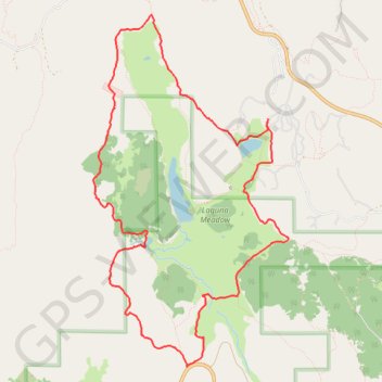
Interactive map
GPS track profile
About this GPS track
Name: Big Laguna Meadow Sunset Trail Loop GPS track, route, trail
Start: Meadow Trailer Loop, San Diego County, California, United States (32.88862 -116.45108)
End: Meadow Trailer Loop, San Diego County, California, United States (32.88865 -116.45114)
Coordinates: 32.86177 -116.47363 32.89993 -116.44840
Topography: San Diego County topographic map, elevation, terrain
Other GPS tracks
Click on a GPS track to view its route, statistics and profile.
Shady to Lightning Ridge
United States > California > San Diego County
Mt Laguna and Horse Heaven CG areas, including Lightning Ridge Trail
Distance: 1.3 mi • Elevation gain: 302 ft • Maximum elevation: 5,768 ft