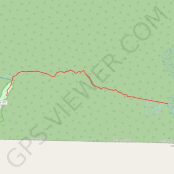
Canal Run to SFSP canoe trail
- Distance: 8.5 mi
- Elevation gain: 46 ft
- Maximum elevation: 138 ft
- Elevation loss: 59 ft
- Minimum elevation: 108 ft
- Moving time: 2 h 59 m
- Moving speed: 2.8 mph
- Maximum speed: 17.6 mph
- Total time: 3 h 52 m
- Global speed: 2.2 mph
- Date: 11/30/2022
Interactive map
GPS track profile
About this GPS track
Name: Canal Run to SFSP canoe trail GPS track, route, trail
Start: Canal Run, Charlton County, Georgia, United States (30.81530 -82.25304)
End: 44, State Highway 177, Charlton County, Georgia, United States (30.82032 -82.36462)
Coordinates: 30.81530 -82.36465 30.83552 -82.25293
Topography: Charlton County topographic map