Reynolds, Murphy, Rim, Moody Point Trails
Sierra Ancha Wilderness
- Distance: 14.0 mi
- Elevation gain: 3,504 ft
- Maximum elevation: 7,740 ft
- Elevation loss: 3,504 ft
- Minimum elevation: 6,138 ft
- Moving time: 5 h 9 m
- Moving speed: 2.7 mph
- Maximum speed: 4.2 mph
- Total time: 5 h 39 m
- Global speed: 2.5 mph
- Date: 12/31/2023
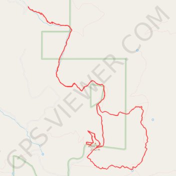
Interactive map
GPS track profile
About this GPS track
Name: Reynolds, Murphy, Rim, Moody Point Trails GPS track, route, trail
Start: Reynolds Trail #150, Gila County, Arizona, United States (33.84750 -110.92612)
End: Reynolds Trail #150, Gila County, Arizona, United States (33.84753 -110.92620)
Coordinates: 33.80554 -110.92625 33.84753 -110.88907
Topography: Gila County topographic map
Other GPS tracks
Click on a GPS track to view route, its statistics and profile.
Reynolds Creek, Center Mountain, Lucky Strike Trails
United States > Arizona > Gila County
Sierra Ancha Wilderness
Distance: 12.6 mi • Elevation gain: 3,717 ft • Maximum elevation: 7,513 ft