Suuntoapp-SkiTouring-2023-03-22T08-56-34Z
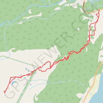
- Distance: 4.0 mi
- Elevation gain: 1,932 ft
- Maximum elevation: 1,998 ft
- Elevation loss: 1,949 ft
- Minimum elevation: 72 ft
Interactive map
GPS track profile
About this GPS track
Name: Suuntoapp-SkiTouring-2023-03-22T08-56-34Z GPS track, route, trail
End: Vestersidaveien, Sandøra - Stálugárgu, Storfjord, Troms og Finnmark, Norvège (69.33693 19.96730)
Coordinates: 69.32367 19.92426 69.33693 19.96730
Other GPS tracks
Click on a GPS track to view route, its statistics and profile.
Stage 1: Arctic Ocean to Väylä — European Divide Trail
Distance: 1,730.5 mi • Elevation gain: 78,159 ft • Maximum elevation: 2,369 ft