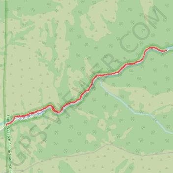
Smithfield Canyon Skiing
Cross country ski along the Smithfield Canyon Road in the Uinta-Wasatch-Cache National Forest and the Mount Naomi Wilderness. #Ski #Mountain #Canyon #Nature #Forest #Wilderness #River
- Distance: 4.6 mi
- Elevation gain: 696 ft
- Maximum elevation: 6,063 ft
- Elevation loss: 705 ft
- Minimum elevation: 5,417 ft
- Moving time: 1 h 20 m
- Moving speed: 3.4 mph
- Maximum speed: 14.9 mph
- Total time: 1 h 38 m
- Global speed: 2.8 mph
- Date: 02/19/2024
Interactive map
GPS track profile
About this GPS track
Name: Smithfield Canyon Skiing GPS track, route, trail
Start: Smithfield Canyon Road, Cache County, Utah, United States (41.87068 -111.75485)
Coordinates: 41.86924 -111.75743 41.88233 -111.72117
Topography: Cache County topographic map