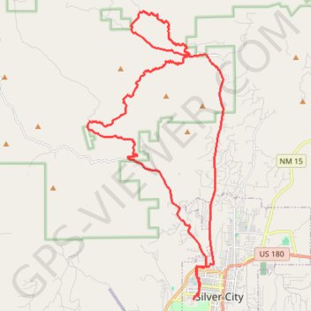
Loop around Eighty Mountain
MTB loop from Silver City at the foot of Eighty Mountain, Stewart Peak, Gomez Peak and Round Mountain in the Gila National Forest. #MTB #Loop #City #Nature #Mountain #Forest
- Distance: 25.2 mi
- Elevation gain: 2,080 ft
- Maximum elevation: 6,732 ft
- Elevation loss: 2,080 ft
- Minimum elevation: 5,938 ft
- Moving time: 2 h 40 m
- Moving speed: 9.4 mph
- Maximum speed: 25.6 mph
- Total time: 2 h 52 m
- Global speed: 8.8 mph
- Date: 02/24/2024
Interactive map
GPS track profile
About this GPS track
Name: Loop around Eighty Mountain GPS track, route, trail
Coordinates: 32.77004 -108.33626 32.87943 -108.27447
Topography: Silver City topographic map