L'île de Kimolos
Interactive map
GPS track profile
About this GPS track
Name: L'île de Kimolos GPS track, route, trail
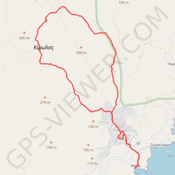
Coordinates: 36.78585 24.55408 36.81699 24.57914
Name: L'île de Kimolos GPS track, route, trail
Coordinates: 36.78585 24.55408 36.81699 24.57914