Horseshoe Bend Viewpoint
Interactive map
GPS track profile
About this GPS track
Name: Horseshoe Bend Viewpoint GPS track, route, trail
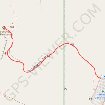
Start: Horseshoe Bend Parking, US 89, Page, Coconino County, Arizona, United States (36.87745 -111.50275)
End: Horseshoe Bend Parking, US 89, Page, Coconino County, Arizona, United States (36.87745 -111.50275)
Coordinates: 36.87745 -111.51085 36.88099 -111.50275
Topography: Page topographic map, elevation, terrain
Other GPS tracks
Click on a GPS track to view its route, statistics and profile.