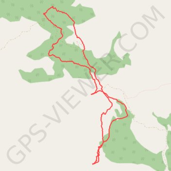
Merendero de Talembo a jbel Tazaout juanky Montes 25FEB2017 ...
- Distance: 7.5 mi
- Elevation gain: 1,719 ft
- Maximum elevation: 6,158 ft
- Elevation loss: 1,722 ft
- Minimum elevation: 5,171 ft
- Moving time: 4 h 10 s
- Moving speed: 1.9 mph
- Maximum speed: 4.7 mph
- Total time: 5 h 39 m
- Global speed: 1.3 mph
- Date: 02/25/2017
Interactive map
GPS track profile
About this GPS track
Name: Merendero de Talembo a jbel Tazaout juanky Montes 25FEB2017 ... GPS track, route, trail
Coordinates: 35.23916 -5.11475 35.27307 -5.09274
Other GPS tracks
Click on a GPS track to view route, its statistics and profile.
Maroc en boucle depuis Tanger
Maroc > pachalik de Tanger > Tanger
Distance: 1,882.0 mi • Elevation gain: 89,413 ft • Maximum elevation: 7,549 ft
Ceuta -> Ouarzazat -> Ceuta espagne
Distance: 500.0 mi • Elevation gain: 31,946 ft • Maximum elevation: 7,188 ft