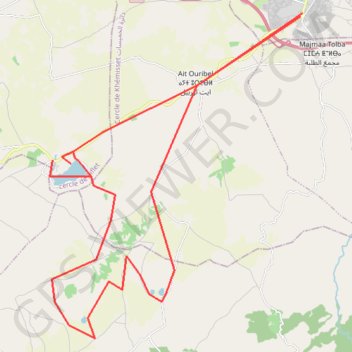
A0. Boucle des étangs, Dayet er-Roumi, Aït Affi et Aït Ayach
- Distance: 34.3 mi
- Elevation gain: 1,283 ft
- Maximum elevation: 1,578 ft
- Elevation loss: 1,289 ft
- Minimum elevation: 965 ft
Interactive map
GPS track profile
About this GPS track
Name: A0. Boucle des étangs, Dayet er-Roumi, Aït Affi et Aït Ayach GPS track, route, trail
Coordinates: 33.68017 -6.19917 33.81217 -6.07600
Other GPS tracks
Click on a GPS track to view route, its statistics and profile.
Maroc en boucle depuis Tanger
Maroc > pachalik de Tanger > Tanger
Distance: 1,882.0 mi • Elevation gain: 89,413 ft • Maximum elevation: 7,549 ft
Marruecos Junio 2019. De Berguent a Esmara
Maroc > Pachalik de Ain Bni Mathar > Ain Bni Mathar
Distance: 1,411.5 mi • Elevation gain: 38,770 ft • Maximum elevation: 4,770 ft