Tims Ladder Trail
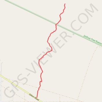
Interactive map
GPS track profile
About this GPS track
Name: Tims Ladder Trail GPS track, route, trail
Start: 74652, Dillon Road, Riverside County, California, 92241, United States (33.90497 -116.36211)
End: Riverside County, California, United States (33.93379 -116.35164)
Coordinates: 33.90497 -116.36211 33.93379 -116.35164
Topography: Riverside County topographic map