Craters of the Moon roads
Interactive map
GPS track profile
About this GPS track
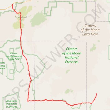
Name: Craters of the Moon roads GPS track, route, trail
Start: US 93;US 20;US 26, Blaine County, Idaho, 83320, United States (43.35771 -113.83712)
End: Blaine County, Idaho, United States (42.98409 -113.35170)
Coordinates: 42.92993 -113.83760 43.35771 -113.35125
Topography: Blaine County topographic map