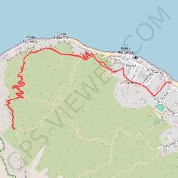
Stromboli Sciara del fuoco
Randonnée en aller-retour depuis Stromboli. #Randonnée
- Distance: 4.8 mi
- Elevation gain: 1,565 ft
- Maximum elevation: 1,312 ft
- Elevation loss: 1,572 ft
- Minimum elevation: 26 ft
- Moving time: 2 h 22 m
- Moving speed: 2.0 mph
- Maximum speed: 4.3 mph
- Total time: 5 h 10 m
- Global speed: 0.9 mph
- Date: 04/20/2015
Interactive map
GPS track profile
About this GPS track
Name: Stromboli Sciara del fuoco GPS track, route, trail
Coordinates: 38.80280 15.21388 38.81078 15.23443
Other GPS tracks
Click on a GPS track to view route, its statistics and profile.