Pratten - Leyburn
Interactive map
GPS track profile
About this GPS track
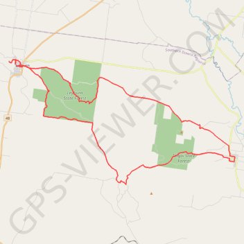
Name: Pratten - Leyburn GPS track, route, trail
Start: White Street, Pratten, Southern Downs Regional, Queensland, Australia (-28.08887 151.78453)
End: White Street, Pratten, Southern Downs Regional, Queensland, Australia (-28.08819 151.78484)
Coordinates: -28.10864 151.57336 -28.00529 151.78488
Other GPS tracks
Click on a GPS track to view route, its statistics and profile.