Midhurst Trail
Interactive map
GPS track profile
About this GPS track
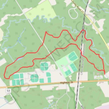
Name: Midhurst Trail GPS track, route, trail
Coordinates: 44.44530 -79.77954 44.45673 -79.74637
Other GPS tracks
Click on a GPS track to view route, its statistics and profile.
Name: Midhurst Trail GPS track, route, trail
Coordinates: 44.44530 -79.77954 44.45673 -79.74637
Click on a GPS track to view route, its statistics and profile.