Hall Heys Wood
Loop hike from Meltham to the Hall Heys Wood by the Meltham Greenway. #Hike #Loop #Forest #Nature #Countryside
- Distance: 2.2 mi
- Elevation gain: 259 ft
- Maximum elevation: 725 ft
- Elevation loss: 259 ft
- Minimum elevation: 489 ft
- Moving time: 1 h 9 m
- Moving speed: 1.9 mph
- Maximum speed: 6.0 mph
- Total time: 1 h 42 m
- Global speed: 1.3 mph
- Date: 02/19/2024
Interactive map
GPS track profile
About this GPS track
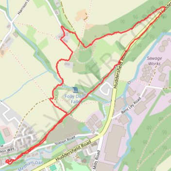
Name: Hall Heys Wood GPS track, route, trail
Coordinates: 53.59427 -1.84607 53.60310 -1.83109
Other GPS tracks
Click on a GPS track to view route, its statistics and profile.