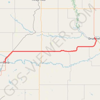
Irricana - Drumheller
- Distance: 46.6 mi
- Elevation gain: 1,030 ft
- Maximum elevation: 3,091 ft
- Elevation loss: 1,841 ft
- Minimum elevation: 2,244 ft
Interactive map
GPS track profile
About this GPS track
Name: Irricana - Drumheller GPS track, route, trail
Start: 300, 1st Street, Town of Irricana, Alberta, T0M 1B0, Canada (51.32325 -113.60644)
Coordinates: 51.32129 -113.60644 51.47001 -112.70057
Other GPS tracks
Click on a GPS track to view route, its statistics and profile.