Machame - J1
Randonnée pédestre. En aller simple. #Randonnée
- Distance: 6.6 mi
- Elevation gain: 3,888 ft
- Maximum elevation: 9,846 ft
- Elevation loss: 16 ft
- Minimum elevation: 5,971 ft
Interactive map
GPS track profile
About this GPS track
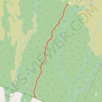
Name: Machame - J1 GPS track, route, trail
Start: Shia ya Mashami, Machame Gate, Foo, Hai, Kilimandjaro, Northern Zone, Tanzanie (-3.17308 37.23874)
End: Machame Camp, Hai, Kilimandjaro, Northern Zone, Tanzanie (-3.09620 37.26535)
Coordinates: -3.17308 37.23701 -3.09620 37.26535
Other GPS tracks
Click on a GPS track to view route, its statistics and profile.
Machame - J2
Randonnée pédestre. En aller simple. #Randonnée
Distance: 3.4 mi • Elevation gain: 2,953 ft • Maximum elevation: 12,746 ft