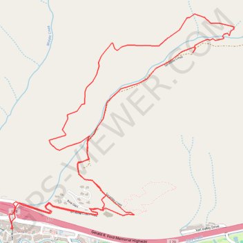
Spraddle Creek Loop
Loop hike from Vail along Spraddle Creek via Spraddle Creek Trail in the White River National Forest. #Hike #Loop #River #Mountain #Nature #Forest
- Distance: 7.1 mi
- Elevation gain: 1,873 ft
- Maximum elevation: 9,918 ft
- Elevation loss: 1,870 ft
- Minimum elevation: 8,179 ft
- Moving time: 2 h 48 m
- Moving speed: 2.5 mph
- Maximum speed: 4.0 mph
- Total time: 3 h 12 m
- Global speed: 2.2 mph
- Date: 06/07/2016
Interactive map
GPS track profile
About this GPS track
Name: Spraddle Creek Loop GPS track, route, trail
Start: 16, Vail Road, Vail, Eagle County, Colorado, 81657, United States (39.64248 -106.37817)
Coordinates: 39.64248 -106.37857 39.66233 -106.35167
Topography: Eagle County topographic map