Garnet ghost town loop
- Distance: 41.1 mi
- Elevation gain: 6,467 ft
- Maximum elevation: 6,381 ft
- Elevation loss: 6,496 ft
- Minimum elevation: 4,121 ft
Interactive map
GPS track profile
About this GPS track
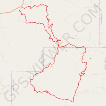
Name: Garnet ghost town loop GPS track, route, trail
Start: Garnet Range Road, Coloma, Missoula County, Montana, United States (46.88461 -113.46295)
End: Garnet Range Road, Coloma, Missoula County, Montana, United States (46.88717 -113.46035)
Coordinates: 46.75890 -113.46357 46.89263 -113.32921
Topography: Missoula County topographic map