Circuit des 3 cocotiers via les 3 sapins
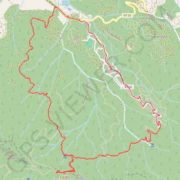
Interactive map
GPS track profile
About this GPS track
Name: Circuit des 3 cocotiers via les 3 sapins GPS track, route, trail
End: Papetō’ai, Moorea-Maiao, Îles du Vent, Polynésie française, 98728, France (-17.53294 -149.83405)
Coordinates: -17.54762 -149.84759 -17.52409 -149.82665
Other GPS tracks
Click on a GPS track to view route, its statistics and profile.
Moorea_traversiŠre_vaiare
France > Polynésie française > Îles du Vent > Moorea-Maiao
time=2020-08-27T18:43:13.000Z
Distance: 5.7 mi • Elevation gain: 1,516 ft • Maximum elevation: 1,158 ft