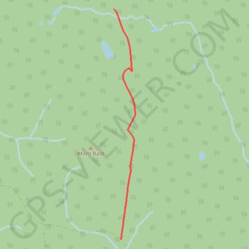
GA BP Bald Mountain
- Distance: 1.8 mi
- Elevation gain: 295 ft
- Maximum elevation: 2,146 ft
- Elevation loss: 276 ft
- Minimum elevation: 1,923 ft
- Moving time: 11 m 1 s
- Moving speed: 9.8 mph
- Maximum speed: 35.8 mph
- Total time: 19 m 7 s
- Global speed: 5.6 mph
- Date: 10/27/2020
Interactive map
GPS track profile
About this GPS track
Name: GA BP Bald Mountain GPS track, route, trail
Coordinates: 48.93511 -64.95273 48.95887 -64.94937
Other GPS tracks
Click on a GPS track to view route, its statistics and profile.
Madeleine - Gaspé
Canada > Quebec > La Haute-Gaspésie > Sainte-Madeleine-de-la-Rivière-Madeleine > Madeleine-Centre
Gulf of Saint Lawrence. #Bike #Madeleine #Gaspé #SaintLawrence #Atlantic
Distance: 74.6 mi • Elevation gain: 7,556 ft • Maximum elevation: 965 ft