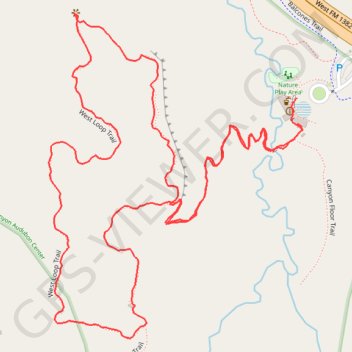
Dogwood Canyon Audubon Center Trail - Cedar Hill, Texas
- Distance: 1.8 mi
- Elevation gain: 269 ft
- Maximum elevation: 755 ft
- Elevation loss: 272 ft
- Minimum elevation: 610 ft
- Moving time: 51 m 59 s
- Moving speed: 2.1 mph
- Maximum speed: 3.3 mph
- Total time: 55 m 13 s
- Global speed: 2.0 mph
- Date: 04/13/2024
Interactive map
GPS track profile
About this GPS track
Name: Dogwood Canyon Audubon Center Trail - Cedar Hill, Texas GPS track, route, trail
Start: Canyon Floor Trail, Cedar Hill, Dallas County, Texas, 75249, United States (32.61338 -96.97099)
End: Canyon Floor Trail, Cedar Hill, Dallas County, Texas, 75249, United States (32.61376 -96.97101)
Coordinates: 32.61020 -96.97537 32.61502 -96.97090
Topography: Dallas County topographic map