Hike at Oh Five, Red and White Loop via Long Path
Interactive map
GPS track profile
About this GPS track
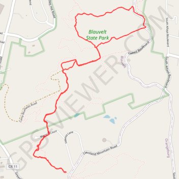
Name: Hike at Oh Five, Red and White Loop via Long Path GPS track, route, trail
Coordinates: 41.06253 -73.94405 41.07848 -73.92971
Topography: Rockland County topographic map
Other GPS tracks
Click on a GPS track to view route, its statistics and profile.
Montréal - New York
Canada > Québec > Agglomération de Montréal > Montréal
Distance: 396.0 mi • Elevation gain: 13,563 ft • Maximum elevation: 988 ft