17191983 Calcul de zone
- Distance: 0.3 mi
- Elevation gain: 23 ft
- Maximum elevation: 390 ft
- Elevation loss: 23 ft
- Minimum elevation: 367 ft
- Moving time: 8 m 19 s
- Moving speed: 1.9 mph
- Maximum speed: 2.3 mph
- Total time: 8 m 19 s
- Global speed: 1.9 mph
- Date: 01/25/2023
Interactive map
GPS track profile
About this GPS track
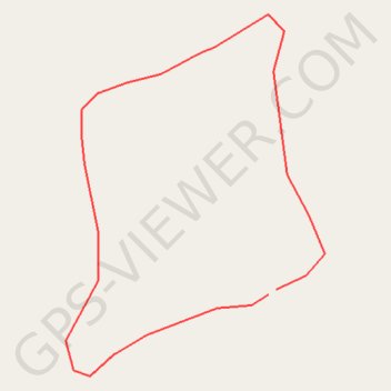
Name: 17191983 Calcul de zone GPS track, route, trail
Start: Moronou, Lacs, Côte d’Ivoire (6.66430 -4.38668)
End: Moronou, Lacs, Côte d’Ivoire (6.66432 -4.38665)
Coordinates: 6.66400 -4.38743 6.66533 -4.38647