AMON-11-24 18:11:33
- Distance: 1.0 mi
- Elevation gain: 56 ft
- Maximum elevation: 538 ft
- Elevation loss: 56 ft
- Minimum elevation: 492 ft
- Moving time: 31 m 51 s
- Moving speed: 1.9 mph
- Maximum speed: 3.3 mph
- Total time: 37 m 54 s
- Global speed: 1.6 mph
- Date: 11/24/2022
Interactive map
GPS track profile
About this GPS track
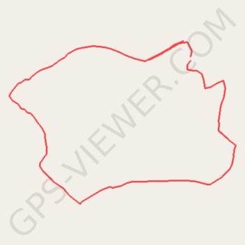
Name: AMON-11-24 18:11:33 GPS track, route, trail
Start: Assié-Koumassi, Moronou, Lacs, Côte d’Ivoire (6.79668 -4.23576)
End: Assié-Koumassi, Moronou, Lacs, Côte d’Ivoire (6.79661 -4.23576)
Coordinates: 6.79387 -4.23925 6.79698 -4.23489