Import a GPX file

Dakota 576 Crash Site

Vancouver Island. #Hike #Vancouver

  • Distance: 2.5 mi
  • Elevation gain: 440 ft
  • Maximum elevation: 299 ft
  • Elevation loss: 440 ft
  • Minimum elevation: 26 ft

Interactive map

GPS track profile

About this GPS track
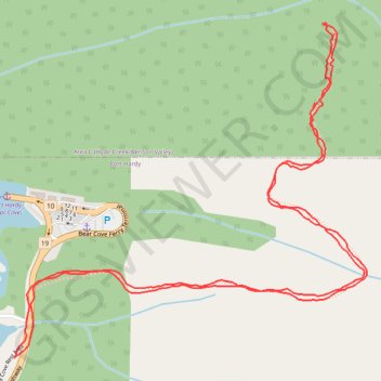
Other GPS tracks

Click on a GPS track to view route, its statistics and profile.

Port McNeill - Port Hardy

Canada > British Columbia > Regional District of Mount Waddington > Port McNeill

Vancouver Island. #Bike #McNeill #Hardy #Vancouver

Distance: 31.3 mi • Elevation gain: 1,549 ft • Maximum elevation: 394 ft