Ampersand Mountain
Hike to Ampersand Mountain via Ampersand Mountain Trail in the High Peaks Wilderness. #Hike #Mountain #Nature #Forest #Wilderness
- Distance: 2.7 mi
- Elevation gain: 1,713 ft
- Maximum elevation: 3,278 ft
- Elevation loss: 10 ft
- Minimum elevation: 1,565 ft
- Moving time: 1 h 21 m
- Moving speed: 2.0 mph
- Maximum speed: 8.2 mph
- Total time: 1 h 33 m
- Global speed: 1.8 mph
- Date: 09/25/2010
Interactive map
GPS track profile
About this GPS track
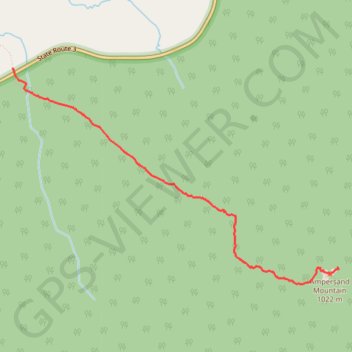
Name: Ampersand Mountain GPS track, route, trail
Coordinates: 44.23366 -74.23965 44.25176 -74.20162
Topography: Franklin County topographic map
Other GPS tracks
Click on a GPS track to view route, its statistics and profile.