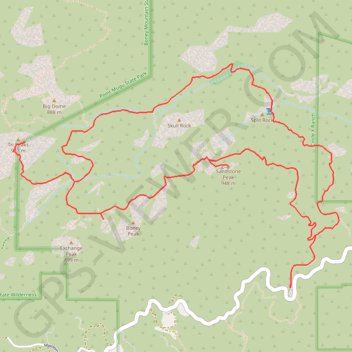
Sandstone Peak and Tri Peaks Loop
Interactive map
GPS track profile
About this GPS track
Name: Sandstone Peak and Tri Peaks Loop GPS track, route, trail
Start: Sandstone Peak Trail, Ventura County, California, United States (34.11167 -118.92679)
End: Sandstone Peak Trail, Ventura County, California, United States (34.11158 -118.92676)
Coordinates: 34.11158 -118.95056 34.12750 -118.92260
Topography: Ventura County topographic map
Other GPS tracks
Click on a GPS track to view route, its statistics and profile.