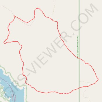
Alien Loop
Loop hike through the Havasu National Wildlife Refuge via the Alien Loop Trail by the Havasu Lake and the Colorado River. #Hike #Loop #Nature #Rock #Desert #Moutain #Wilderness #Lake #River
- Distance: 10.3 mi
- Elevation gain: 1,079 ft
- Maximum elevation: 1,175 ft
- Elevation loss: 1,079 ft
- Minimum elevation: 472 ft
- Moving time: 4 h 26 m
- Moving speed: 2.3 mph
- Maximum speed: 3.3 mph
- Total time: 4 h 26 m
- Global speed: 2.3 mph
- Date: 12/11/2012
Interactive map
GPS track profile
About this GPS track
Name: Alien Loop GPS track, route, trail
Start: Mohave County, Arizona, United States (34.61488 -114.37612)
End: Mohave County, Arizona, United States (34.61491 -114.37611)
Coordinates: 34.60841 -114.42903 34.64800 -114.37609
Topography: Mohave County topographic map