Towson Walk
- Distance: 2.4 mi
- Elevation gain: 194 ft
- Maximum elevation: 476 ft
- Elevation loss: 197 ft
- Minimum elevation: 400 ft
- Moving time: 58 m 7 s
- Moving speed: 2.5 mph
- Maximum speed: 4.2 mph
- Total time: 1 h 4 m
- Global speed: 2.2 mph
Interactive map
GPS track profile
About this GPS track
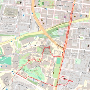
Name: Towson Walk GPS track, route, trail
Coordinates: 39.39082 -76.61102 39.40038 -76.60253
Topography: Towson topographic map, elevation, terrain