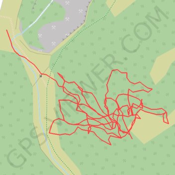
Hiking
- Distance: 0.9 mi
- Elevation gain: 92 ft
- Maximum elevation: 640 ft
- Elevation loss: 128 ft
- Minimum elevation: 571 ft
- Moving time: 40 m 11 s
- Moving speed: 1.4 mph
- Maximum speed: 3.4 mph
- Total time: 1 h 33 s
- Global speed: 0.9 mph
- Date: 04/06/2021
Interactive map
GPS track profile
About this GPS track
Name: Hiking GPS track, route, trail
End: Skelwith, Coniston, Westmorland and Furness, England, LA21 8DQ, United Kingdom (54.40520 -3.05557)
Coordinates: 54.40407 -3.05557 54.40520 -3.05284