Robertson Park
Interactive map
GPS track profile
About this GPS track
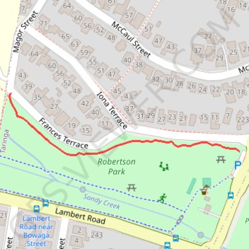
Name: Robertson Park GPS track, route, trail
Start: 39, Frances Terrace, Taringa, Brisbane City, Queensland, 4068, Australia (-27.50146 152.98704)
End: Indooroopilly Road, Taringa, Greater Brisbane, Queensland, 4068, Australia (-27.50225 152.99052)
Coordinates: -27.50230 152.98701 -27.50146 152.99052
Other GPS tracks
Click on a GPS track to view route, its statistics and profile.