Chilnualna Falls
Interactive map
GPS track profile
About this GPS track
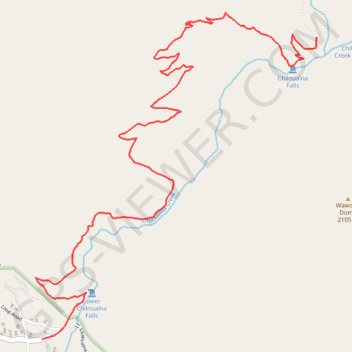
Name: Chilnualna Falls GPS track, route, trail
End: Chilnualna Falls Trail, Mariposa County, California, United States (37.56517 -119.61536)
Coordinates: 37.54820 -119.63533 37.56652 -119.61536
Topography: Mariposa County topographic map
Other GPS tracks
Click on a GPS track to view route, its statistics and profile.
Walker - Auberry
États-Unis d'Amérique > Californie > Mono County > Walker
Vélo. En aller simple entre Walker et Auberry. #Vélo
Distance: 220.0 mi • Elevation gain: 21,762 ft • Maximum elevation: 9,970 ft