Birding Hike at Carver Park Reserve
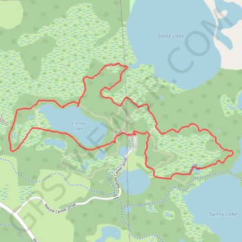
Loop hike from Lowry Nature Center via Maple Trail, Dragon Fly Pond, Sunny Lake, Lake Zumbra, Oak Trail, Aspen Trail, Crosby Lake and Tamarack Trail in the Carver Park Reserve. #Hike #Loop #Nature #Park #Forest #Lake
- Distance: 3.4 mi
- Elevation gain: 164 ft
- Maximum elevation: 984 ft
- Elevation loss: 164 ft
- Minimum elevation: 942 ft
- Moving time: 1 h 25 m
- Moving speed: 2.4 mph
- Maximum speed: 3.5 mph
- Total time: 1 h 46 m
- Global speed: 1.9 mph
- Date: 03/04/2024
Interactive map
GPS track profile
About this GPS track
Name: Birding Hike at Carver Park Reserve GPS track, route, trail
Coordinates: 44.87935 -93.69399 44.88692 -93.67331
Topography: Carver County topographic map