Mount Crawford
Hike from Saco River to Mount Crawford via Davis Path and Mount Crawford Spur in the Presidential Range-Dry River Wilderness. #Hike #Mountain #River #Nature #Forest #Wilderness
- Distance: 4.6 mi
- Elevation gain: 2,064 ft
- Maximum elevation: 3,054 ft
- Elevation loss: 2,057 ft
- Minimum elevation: 988 ft
- Moving time: 2 h 12 m
- Moving speed: 2.1 mph
- Maximum speed: 3.6 mph
- Total time: 2 h 37 m
- Global speed: 1.7 mph
- Date: 10/04/2023
Interactive map
GPS track profile
About this GPS track
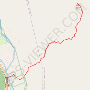
Name: Mount Crawford GPS track, route, trail
Coordinates: 44.11840 -71.35407 44.13682 -71.33079
Topography: Hart's Location topographic map
Other GPS tracks
Click on a GPS track to view route, its statistics and profile.