Castle Trail
Hike on the Castle Trail in the Badlands National Park. #Hike #Desert #Nature #Park
- Distance: 4.9 mi
- Elevation gain: 144 ft
- Maximum elevation: 2,671 ft
- Elevation loss: 144 ft
- Minimum elevation: 2,608 ft
- Moving time: 2 h 13 m
- Moving speed: 2.2 mph
- Maximum speed: 3.7 mph
- Total time: 2 h 56 m
- Global speed: 1.7 mph
- Date: 08/10/2023
Interactive map
GPS track profile
About this GPS track
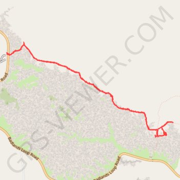
Name: Castle Trail GPS track, route, trail
Coordinates: 43.76104 -102.00294 43.77464 -101.96985
Topography: Jackson County topographic map