2024_02_19-04_13_56_PM_GPS
- Distance: 2.3 mi
- Elevation gain: 33 ft
- Maximum elevation: 722 ft
- Elevation loss: 33 ft
- Minimum elevation: 696 ft
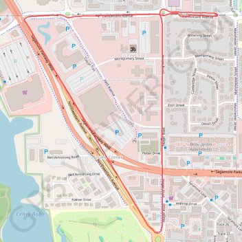
Interactive map
GPS track profile
About this GPS track
Name: 2024_02_19-04_13_56_PM_GPS GPS track, route, trail
Coordinates: 40.45060 -86.93287 40.46086 -86.92126
Topography: Tippecanoe County topographic map