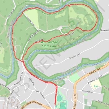
Pound Bend Loop
Warrandyte State Park. Yarra River. #Hike #Loop #Warrandyte
- Distance: 4.0 mi
- Elevation gain: 341 ft
- Maximum elevation: 276 ft
- Elevation loss: 341 ft
- Minimum elevation: 89 ft
- Moving time: 1 h 7 m
- Moving speed: 3.5 mph
- Maximum speed: 5.1 mph
- Total time: 1 h 8 m
- Global speed: 3.5 mph
- Date: 01/18/2020
Interactive map
GPS track profile
About this GPS track
Name: Pound Bend Loop GPS track, route, trail
Coordinates: -37.74560 145.19847 -37.73016 145.21498
Other GPS tracks
Click on a GPS track to view route, its statistics and profile.
Tallarook - Eildon - Hurstbridge
Australia > Victoria > Tallarook
#Bike
Distance: 173.2 mi • Elevation gain: 16,066 ft • Maximum elevation: 2,848 ft